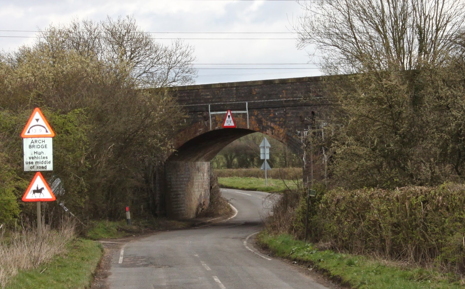
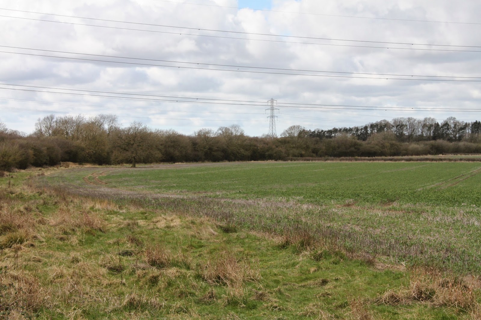
The first bridge which gives access to some allotments. The fencing here is relatively new and the access staircase well maintained. The allotments can be seen to the left of the line in Bletchley flyover video. The bridge is quite small but would still take double track.
Same bridge from the allotments side. It has bridge number of 4
The next bridge is a much larger three arch construction. The two side arches have been brick up at some stage with small arched access apertures. The other side of the bridge is the sign that proclaims that you are entering Newton Longville. A new station has been mooted here because of new housing development although it is not in the existing plans. Just above the left arch is palisade fence blocking the line.
Looking back from the other side. Again the fencing is good on the right side of the bridge with a modern access staircase but poorly maintained on the other side. The bridge marks the boundary between the operational section and the mothballed section.
There was an informal footpath running up from the bridge alongside the line so I managed this shot of the fence across the line without trespassing.
This is taken looking east from the overbridge on Whaddon Road that runs from Newton Longville to the peculiarly named Bottle Dump roundabout on the A421. Sadly some evidence of flytipping here. Although the track is extant it is unuseable because there is a short piece missing which you cannot see in the photo.
Now looking west from the same bridge. A dog walker can be seen in the distance. He is obviously not expecting a train any time soon!
This is taken from two bridges further west from the also slightly confusingly named Whaddon Road that runs from Mursley to the A421. I am pretty sure this is the same dog walker!
And looking west some horse riders are taking advantage of the trackbed. Vegetation clearance has not been carried out here yet. The track ends at the bridge as the next picture shows.
Quite surprisingly the ordnance survey map has been updated to show this missing section of track although more is missing than the map shows.
Looking west from the same bridge towards Swanbourne station.
Zooming in you can just see the end of Oxford bound platform.
The parapet brickwork is certainly in need of attention here. It is an odd mix of red and blue bricks on this side whilst the other side is pretty much all blues.

Looking back at the bridge from just east of Swanbourne station.
Swanbourne station which is not going to re-open with the line. No surprise as it is not near any houses. In fact it is nearer to Mursley and Little Horwood than Swanbourne.I then took at look at Winslow. There was nothing to see in Station Road where the station site has been completely built on. This is taken looking east from Buckingham Road.

Zooming in you can see a footbridge and Furze Lane overbridge.
I then headed for my final destination of Verney Junction. On the way from Winslow I passed under two substantial bridges. This is the first no 22, a three arch bridge.
Looking right the trackbed looks to be in good condition here.
The next one is an impressive four arch bridge (no 24) that looks to be in very good condition. The middle arches take the road and river under the railway.
This is taken from the other side. The guard rails look to be fairly recent additions.
Looking east across the bridge. Trackbed has been cleared here.
And looking west from the same spot.
Continuing on to Verney Junction the road passes through the abutments of the former line from Quainton Road which can be seen crossing the centre of the picture. (Looking back east towards bridge 24.)
This is the well maintained Verney Junction station house. Now in private hands they are probably less than enamoured with the idea of a double track mainline passing their house as are the other former station building owners I am sure.
There are two features that confirm that this is a Victorian building. The date is shown as 1870 with a V above. Not sure whether this stands for Queen Victoria or Sir Harry Verney, the local landowner after whom this station was named.
.jpg)
Now moving towards the level crossing. The portable toilet looks to be a recent addition and is probably there for the comfort of the flailers.
The sign is interesting. Those using the crossing seem to have a cavalier disregard to the £100 fine for not closing the gates. Finding a local British Rail manager to notify will prove somewhat difficult! The instruction to cross quickly is a little unnecessary when you have probably got three years until the next train!
Looking east from the level crossing
Looking west through the platforms of the former station which definitely will not be re-opening! I can't imagine it ever saw many passengers serving the few railway cottages that originally made up Verney Junction.
Finally the tree line seen crossing left to right is the former line from Verney Junction to Banbury. The last remaining section from here to Buckingham closed in 1966.
I hope to cover the Verney Junction to Bicester section next.


.jpg)


No comments:
Post a Comment